
Few metro areas have real mountain trails this close to the suburbs. From downtown Issaquah, forested ridges rise on three sides, and trailheads sit minutes from the freeway, the coffee shops and the shopping centers along I-90. Locals call this cluster of old, worn-down peaks the Issaquah Alps.
The appeal is variety without a long drive. You can spend an hour circling a lake on a nearly flat plateau, grind up a steep summit trail as training for bigger mountains, or follow old railroad grades past rusted relics of the logging and coal-mining eras. Weekday visitors on business in Bellevue can even squeeze in a morning hike, a pairing our Seattle business travel guide touches on for unwinding after meetings.
The Issaquah Alps in Brief
Three mountains make up the core, and each has a different manager, which matters for rules and passes. Tiger Mountain, east and south of town, is a state forest run by the Washington Department of Natural Resources, with part of it protected as the West Tiger Mountain Natural Resources Conservation Area. Cougar Mountain, to the west toward Bellevue, is a King County regional wildland park. Squak Mountain, sitting between them, is a state park.
The forest is similar across all three: second-growth conifers, sword ferns and moss-draped maples. Many trails follow old logging-railroad and mining grades, so the walking is steadier than the terrain suggests.
Tiger Mountain State Forest
Tiger is the busiest of the three and has the widest range of hikes. The High Point trailhead, just off I-90 on the east side of Issaquah, is the hub for many routes, while trails on the west side start along Issaquah-Hobart Road. The Washington DNR manages the forest and posts notices about trail conditions and access.
Poo Poo Point and the Paragliders
Poo Poo Point is a grassy launch on Tiger’s west flank, where paragliders and hang gliders run off the slope and ride thermals over the valley. The odd name comes from the sound of the steam whistles once used by loggers on the mountain. On a good flying day, watching pilots set up and lift off is as much of a draw as the view over Lake Sammamish.
Two trails lead there. The Chirico Trail is the shorter, steeper approach from the Issaquah-Hobart Road side, climbing hard through the trees. The High School Trail is longer and more gradual, starting on the edge of town near Issaquah High School. Give the launch area plenty of room and keep dogs leashed near it.
West Tiger 3 for a Workout
West Tiger 3 is the summit locals use to stay in shape. The climb from High Point is sustained and steep in places, rewarding effort with an open top and views west over Issaquah toward Seattle and, on clear days, the Olympics. Expect company on weekends, including hikers carrying heavy packs to train for big Cascade peaks. Plan for a solid half day.
Tradition Lake Plateau for Easy Miles
For something gentle, the Tradition Lake plateau sits right beside the High Point trailhead. A loop circles Tradition Lake through mixed forest and wetlands, with little elevation change and wide, well-maintained paths. Side trails lead to Round Lake, so the outing stretches as far as you like.
Cougar Mountain Regional Wildland Park
Cougar Mountain feels wilder than its location between Bellevue and Issaquah suggests. Its trail network is dense, with several entry points: the Red Town, Sky Country, Harvey Manning and Whittaker Wilderness Peak trailheads each open onto different parts of the park. Bicycles are not allowed on the trails, which keeps the paths quiet and pleasant for walkers. Near the top, Anti-Aircraft Peak holds Radar Park, the site of a former Nike missile installation.
Coal Mining History Along the Trails
The Red Town trailhead area was once a busy mining community, and interpretive exhibits explain how coal was pulled from beneath these hills. Nearby trails pass old mine sites in the forest, and because shafts and sinkholes remain underground, stay on marked trails at all times.
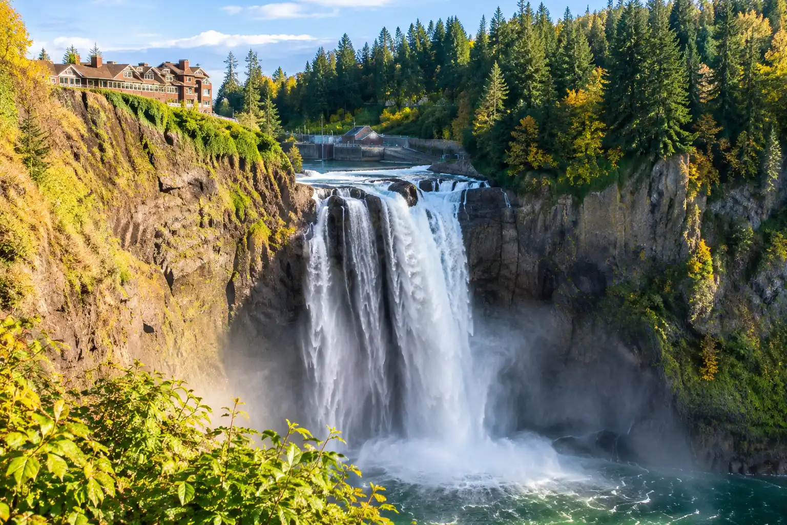
From the same area, a walk to Coal Creek Falls makes a rewarding short outing. The falls are seasonal, at their best after a stretch of rain and much thinner in late summer.
Wilderness Peak Loop
Wilderness Peak is the highest point in the park, reached by a loop from the Whittaker Wilderness Peak trailhead on the road between Issaquah and Renton. The route climbs a mossy creek ravine with big stumps and boulders, tops out on a forested summit and returns by a different trail. There is no grand viewpoint at the top; the deep green forest is the reason to go.
Squak Mountain in Between
Squak Mountain gets fewer visitors than its neighbors, which is exactly why some hikers prefer it. Squak Mountain State Park is a day-use park with hiking and horse trails, and its main access is from May Valley Road on the south side; trails also climb from neighborhoods on the Issaquah side. A short interpretive loop near the main trailhead suits a quick visit, while longer routes wind toward the summit through quiet forest. Check the Squak Mountain State Park page for access details before you go.
Starter Hikes for New Hikers
If you are new to Northwest trails, start with routes that build confidence:
– Tradition Lake loop from High Point, nearly flat and easy to follow.
– Coal Creek Falls on Cougar Mountain, a short forest walk with a waterfall payoff in the wet season.
– The interpretive loop on Squak Mountain, quiet and brief.
– The lower stretch of the High School Trail toward Poo Poo Point, turning back whenever you like.
Wear shoes with real tread, carry a rain shell even on bright mornings, and pack water, a snack and a light. Download a trail map before you leave, since junctions multiply quickly in all three parks and phone signal can fade under the trees.
Passes, Parking and Trailhead Tips
A Discover Pass is required for vehicle access on DNR lands and in state parks, so it applies at Tiger Mountain trailheads and at Squak Mountain State Park. Cougar Mountain is a county park; follow the rules posted at each trailhead there.
Parking is the main headache. High Point and the Poo Poo Point trailheads fill early on sunny weekends, and overflow cars on road shoulders can be ticketed where signs prohibit it. Arrive early, go on a weekday or skip parking entirely. Trailhead car break-ins happen around the region, so leave nothing visible in the vehicle.
Winter brings short days, and upper Tiger can see snow. Black bears and cougars live in these hills but are rarely seen; make noise on quiet stretches and keep children close.
One-Way Hikes With a Drop-Off and Pickup
The best way to see more of the Issaquah Alps is to stop retracing your steps. A few classic one-way routes:
Climb the Chirico Trail to Poo Poo Point, then descend the High School Trail straight into town for lunch. On Cougar Mountain, cross the park from Red Town to the Wilderness Peak trailhead, linking mining history with the summit forest. On Tiger, the longer trails that run across the mountain make full-day traverses for experienced hikers, and on Squak you can go over the top from the Issaquah side to May Valley Road.
The catch is logistics: you start in one place and finish in another. A Seattle Town Car chauffeur solves that by dropping you at the first trailhead and meeting you at the finish, with an SUV that has room for packs, poles and a bag of muddy boots. Agree on a pickup window before you start, since signal can be patchy. Issaquah car service covers rides from Seattle, Bellevue or the hotel, hourly chauffeured service keeps a driver nearby all day, and hiking clubs or team outings fit in a Sprinter van for larger groups.
Pick a traverse, note your start and finish trailheads, and send the plan through our contact page so the pickup is waiting when you come off the mountain.
FAQ
Do I need a pass to hike Tiger Mountain?
If you drive and park at a Tiger Mountain trailhead, yes, because the state forest is DNR land and the Discover Pass covers vehicle access there. It attaches to the car, not the hiker, so someone dropped off at the trailhead or walking in from town has nothing to display. Both day and annual versions are sold through the state.
What is the easiest hike near Issaquah?
The Tradition Lake loop is the gentlest choice, with wide paths, minimal climbing and a parking area right at the start. Its lowland forest also holds up well in poor weather, when summit views would be hidden anyway. Families with small children often add a picnic at the trailhead afterward.
Can you hike from Issaquah to Poo Poo Point without a car?
Yes. The High School Trail begins on the edge of town, so you can walk to it from downtown Issaquah, which regional express buses connect with Seattle. It is the longer of the two approaches, so give yourself most of a day and start early.
Are the Issaquah trails muddy in winter?
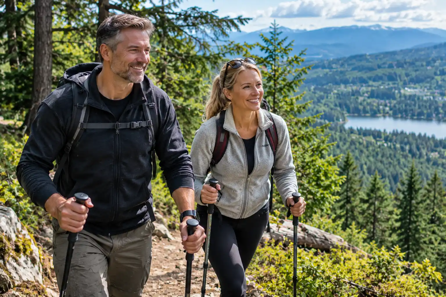
Very. From fall through spring, expect standing water, slick roots and churned sections, especially on popular routes. Waterproof boots and trekking poles help, and the old railroad grades usually drain better than the steep direct paths.